 |
|
 27.05.2020, 21:45
|
#321 | |
|
Звичайна людина на Землі

Регистрация: 06.11.2011
Адрес: Україна, м.Київ, Печерський район, вул. Кіквідзе
Сообщений: 8,363
|
Цитата:
Более того, земля на зимних картах тоже "грязная". А с тга замёрзшей воды тихий ужас творится во всех сборках без исключения. Даже в дефолте 4.13.4 и 4.14.1. Лёд просто страшный, разной степени ужаса в зависимости от карты. Какие могут быть неправильные мат-файлы в дефолте? На старой видеокарте н-дивидиа 650 у меня всё было идеально - зима белая, лёд отличный. Сейчас же на 1060 карте с 6 гигами памяти творится ужас. Настроить видеокарту мне некому - там всё по английски и переключить нет возможности. Настраивал мне комп хороший знакомый, но видеокарту настроить не смог. Вот что твориться зимой у меня по сборкам. https://drive.google.com/drive/folde...pV?usp=sharing Часть фоток из 4.14.1 - там дефолтный конфиг и всё только дефолт. Держу дефолт 4.14.1 для сравнения нужного мне в модах с последними достижениями ДТ. -------------------------------------------- Вот нашёл скрины моей старой расскраски Москов зима. http://forum.aviaskins.com/showpost....5&postcount=24 http://forum.aviaskins.com/showpost....6&postcount=25 В те далёкие времена эта карта была у меня на экране беленькой и очень приятной на вид, а сейчас бело-зелёная в пятнах на скринах. Эта расскраска карты у меня до сих пор есть, но в игре она грязная выглядит - страшненькая. Что делать - ума не приложу. Всё дело в выводе изображения на монитор. Последний раз редактировалось Vasya; 27.05.2020 в 22:14. |
|

|

|
|
28.05.2020, 00:19
|
#322 | |
|
Пытающийся полететь
Регистрация: 21.05.2009
Адрес: Сталинград
Сообщений: 2,557
 |
Цитата:
[LIGHT] LandLight = LandLight.mat Файл LandLight.mat общий один на все карты дефолтные именно этот файл отвечает за яркость-констрастность текстур на картах, которые грузятся из файла load.ini Для этих текстур не существует .mat файлов, только файл освещения Дефолтный файл LandLight.mat лежит по пути: maps\_tex Этих файлов освещения можно насоздавать для каждой карты свой файл Путь к нему прописать так-же в load.ini каждой карты Например в файле load.ini карты "Proba" прописать: [LIGHT] LandLight = MY_LandLight.mat Все ,теперь карта найдет файл MY_LandLight.mat и применит его ТОЛЬКО !!! для этой карты. Остальные карты будут пользовать дефолтный файл. Описание дефолтного файла LandLight.mat: [ClassInfo] ClassName TMaterial [LightParams] Ambient 1.0 // аналог контрастности, может быть от 0.....сколько хочешь(в разумных пределах например 1.5 или 0.8 или 0.2 или 2.0) Diffuse 1.0 // аналог яркости, может быть от 0.....сколько хочешь(в разумных пределах например 1.5 или 0.8 или 0.2 или 2.0) Внимание ! Файл LandLight.mat устанавливает одинаковое освещение для всех текстур карт, которые указаны в load.ini карты.
__________________
Даёшь защищенный онлайн и Свободный оффлайн. Теперь я и в телеграмме: https://t.me/il_2_1946 Последний раз редактировалось carsmaster; 28.05.2020 в 00:28. |
|
|
|
|
|
28.05.2020, 01:54
|
#323 | |
|
Местный
Регистрация: 04.12.2007
Сообщений: 1,408
|
Цитата:
Но... настраивая свои mat. файлы внимательно посмотрите как будет выглядеть Ваша настройка карты в разное время суток. Не будет ли она диссонировать с остальными объектами, деревьями и текстурами на этой карте. Это дело тонкое. Кстати Сайберловас на своем Сталинграде также изменял освещенность. [LIGHT] LandLight = East/stalingrad_winter/WS_LandLight.mat P/S. Но рельефности это льду не добавит наверняка |
|
|
|
|
|
28.05.2020, 02:10
|
#324 | ||
|
Звичайна людина на Землі
Регистрация: 06.11.2011
Адрес: Україна, м.Київ, Печерський район, вул. Кіквідзе
Сообщений: 8,363
|
Цитата:
Цитата:
Это очень хорошо - мат-файл. Я же выше упирал на другую особенность - на то что: в любой сборке и дефолте в том числе - зимние текстуры у меня выглядят просто ужасно. ------------------------------------- Кстати, дядя Серёжа, только благодаря вашей помощи в настройке видеокарты лет 7-8 назад у меня был приличный вид зимних текстур. Я бы попробовал сам настроить, но - как писал выше - меню настройки всё на английском. Если бы мне подарили пару скринов с правильными настройками видеокарты для Ила - был бы от души благодарен. Без коррекции работы видеокарты ковырять мат-файл смысла не вижу. Последний раз редактировалось Vasya; 28.05.2020 в 05:59. |
||
|
|
|
|
29.05.2020, 12:29
|
#325 | |
|
Местный
Регистрация: 27.06.2013
Адрес: Киев
Сообщений: 673
|
Цитата:
Я это сделал программой FastStone Image Viewer 7.5 которая была на компе. У меня был такой же яркий лед. Просто уменьшил яркость, контрастность под карту.Можно покрутить и другие параметры.В моем случае Мixx обьяснил почему такого льда как в Заполярье не получится. Что касается настройки видеокарты. Так ведь у НВидиа есть панель управления НВидиа на русском и там усе понятно и просто, ее легко скачать. Последний раз редактировалось Niro; 29.05.2020 в 14:16. |
|
|
|
|
|
29.05.2020, 17:01
|
#326 | |
|
Звичайна людина на Землі
Регистрация: 06.11.2011
Адрес: Україна, м.Київ, Печерський район, вул. Кіквідзе
Сообщений: 8,363
|
Цитата:
Дело как раз в ненастроенной карте. Мне комп собрал и настроил грамотный человек, ты знаешь его лично так же. У меня на видеокарту нет меню на русском, только на английском. Русификация невозможна - это нужно лезть в настройки винды и там менять языки. Не факт, что сломав исходные настройки, я верну их назад. Да, в общем, без разницы какой язык: я не знаю в какую сторону крутить параметры. Помочь некому. 
|
|
|
|
|
|
29.05.2020, 18:18
|
#327 | |
|
Местный
Регистрация: 15.09.2008
Сообщений: 2,225
|
Цитата:
и скачать драйвер для своей видеокарты, указав в качестве языка "русский". После установки драйвера будет доступна панель управления Nvidia на русском языке |
|
|
|
|
|
09.09.2020, 10:58
|
#328 |
|
Местный

Регистрация: 23.10.2007
Сообщений: 1,482
|
Хотелось бы обратить внимание опытных картоделов вот на эту проблему:
http://forum.aviaskins.com/showpost....postcount=1251 Может, что-то посоветуете?
__________________
Ain't a hope in hell, nothing's gonna bring us down, the way we fly, five miles off the ground, it's a Bomber! |
|
|
|
|
18.10.2020, 18:29
|
#329 |
|
Местный
Регистрация: 27.06.2013
Адрес: Киев
Сообщений: 673
|
Это скриншот с карты Альпы. Вершины гор покрыты этим дефолтным "снегом"
Пожалуйста, кто-нибудь может подсказать как его заменить ? Какая строка в лоад.ини отвечает за эту часть карты/за вершины гор со снегом. Прилагаю лоад.ини. карты Альпы. Хочу попробовать поменять на что-нибудь поинтереснее. |
|
|
|
|
18.10.2020, 21:27
|
#330 | |
|
Местный
Регистрация: 27.06.2013
Адрес: Киев
Сообщений: 673
|
Цитата:
Поставил что на скрине, пока на этом остановлюсь. Последний раз редактировалось Niro; 18.10.2020 в 22:01. |
|
|
|
|
|
17.11.2020, 00:21
|
#331 |
|
Местный
Регистрация: 27.06.2013
Адрес: Киев
Сообщений: 673
|
Вопрос к картоделам. Что значит в load.ini в некоторых строках на конце двойка или даже 4 при tga . Догадуюсь что удваивает или учетверяет. В каких случаях это делается ? Вот так : tga,2 , tga,4.
|
|
|
|
|
17.11.2020, 17:22
|
#332 | |
|
Под игом быта

Регистрация: 11.05.2013
Адрес: Ех-СССР
Сообщений: 2,755
|
Цитата:
__________________
"Ялла, ялла! Бурверон!" - суетливый афганский торопляк. "принятие или непринятие идей не должно зависеть от личных или общественных характеристик автора: его раса, национальность, вероисповедание, общественное положение и личные качества не имеют к этому никакого отношения". Торжество идей должно зависеть не от того, кто их поддерживает (или не поддерживает), а от их научной ценности и от того, что они объясняют события и явления лучше других. |
|
|
|
|
|
20.12.2020, 13:12
|
#333 | |
|
Местный
Регистрация: 04.12.2007
Сообщений: 1,408
|
Цитата:
|
|
|
|
|
|
22.12.2020, 15:23
|
#334 | |
|
Под игом быта
Регистрация: 11.05.2013
Адрес: Ех-СССР
Сообщений: 2,755
|
Цитата:

__________________
"Ялла, ялла! Бурверон!" - суетливый афганский торопляк. "принятие или непринятие идей не должно зависеть от личных или общественных характеристик автора: его раса, национальность, вероисповедание, общественное положение и личные качества не имеют к этому никакого отношения". Торжество идей должно зависеть не от того, кто их поддерживает (или не поддерживает), а от их научной ценности и от того, что они объясняют события и явления лучше других. |
|
|
|
|
|
14.03.2021, 00:05
|
#335 |
|
Greif11

Регистрация: 27.08.2008
Адрес: FUBAR city Mariupol
Сообщений: 1,643
|
Вопрос к картостроителям. Летая над морем испытываеш дискомфорт от нереальности моря "вид с верху" создается впечатление что километровые глубины сразу от береговой черты с прибоем. Изза особенности работы шейдеров при отражении воды.
Теперь про "идею" щит в 2 полигона из максимальных отображаемых игрой размеров (большие обгрызаются) полупрозрачный эта техника отработана. Кладем на воду - волнам это не мешает --при этом можно нарисовать рельеф дна видимый с воздуха вплоть до крабов и утопленных испанских галеонов с сокровысчами. 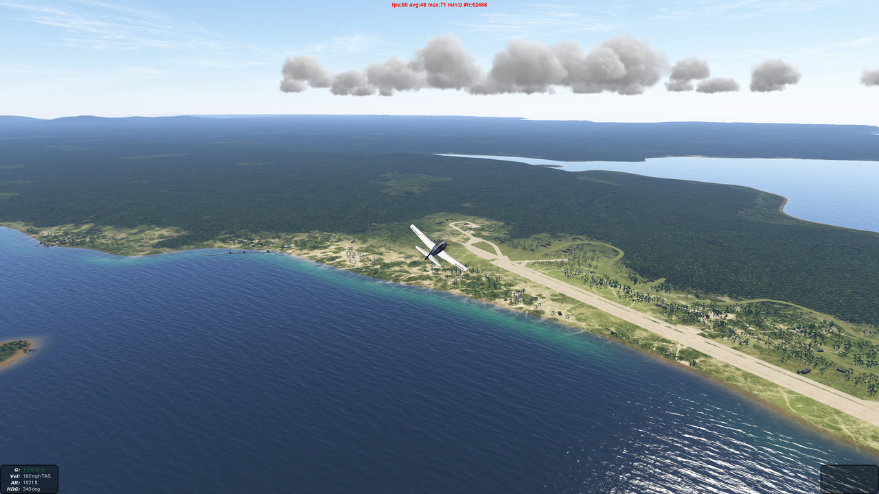   
__________________

Последний раз редактировалось Grejf11; 14.03.2021 в 00:19. |
|
|
|
|
03.03.2023, 12:47
|
#336 |
|
Местный
Регистрация: 18.01.2012
Сообщений: 814
|
Тема в забытии. Но всёж.
Где взять старую версию микродема под которую ориентированы все руководства? Сейчас откуда не попробую скачать, везде лезет версия 2023г на которой всё по другому и самые банальные операции объединение srtm карт, экспорт в файл по заданной таблице цветов уже не прокатывает. В новой версии я тупо не могу найти аналогичные функции как в старом микродеме. Дайте кто-нибудь архив со старым микродемом. |
|
|
|
|
03.03.2023, 13:00
|
#337 | |
|
Пытающийся полететь
Регистрация: 21.05.2009
Адрес: Сталинград
Сообщений: 2,557
|
Цитата:
https://www.mediafire.com/file/9k3ym...CRODEM.7z/file Here is a mediafire link for the version of Microdem that Kevin P uses in his tutorial just the main program folder. Overwrite this folder into the latest version Microdem folder https://www.mediafire.com/?kbm5i1f7oi59xj2 Start up Microdem and it is definitely the older version
__________________
Даёшь защищенный онлайн и Свободный оффлайн. Теперь я и в телеграмме: https://t.me/il_2_1946 Последний раз редактировалось carsmaster; 03.03.2023 в 13:04. |
|
|
|
|
|
03.03.2023, 13:04
|
#338 |
|
Местный
Регистрация: 18.01.2012
Сообщений: 814
|
в том то и прикол. что запускаю этот старый экзешник. ставлю. а по итогу в папку ставится версия 2023г. Она там через инет сама обнавляется что-ли ещё до запуска...
Мож попробовать инет отключить... Инет отрубил. Поставилась старая (ну указанная 2021). Хоть так. Может попробую так старые установщики позапускать. Последний раз редактировалось yt2; 03.03.2023 в 13:12. |
|
|
|
|
03.03.2023, 13:05
|
#339 | |
|
Пытающийся полететь
Регистрация: 21.05.2009
Адрес: Сталинград
Сообщений: 2,557
|
Цитата:
и вот еще наверное важно палитра высот для ИЛ-2 I think later versions use a different method of storing colour palettes - I went back to an earlier version, for ease of use. I vaguely remember creating this to add the Il2 elevation mapping; add to your microdem root folder, should then show in the available palettes list : https://drive.google.com/file/d/1L6D...ew?usp=sharing
__________________
Даёшь защищенный онлайн и Свободный оффлайн. Теперь я и в телеграмме: https://t.me/il_2_1946 Последний раз редактировалось carsmaster; 03.03.2023 в 13:13. |
|
|
|
|
|
03.03.2023, 13:24
|
#340 |
|
Пытающийся полететь
Регистрация: 21.05.2009
Адрес: Сталинград
Сообщений: 2,557
|
This is the version I use from Kevin P.
You can initially download and install the latest version of Microdem then overwrite this Microdem folder into the new version. It should come up as the old version around 2 something I think. With the new version you can't do single dems to make a map it always wants groups of dems which is not good. I'm old school and still use ever so trusty XP prof I have seen the old version work on win 7 I don't know about 8. https://www.mediafire.com/download/l...evinPMicro.rar Just overwrite the main Microdem folder you should have the map data folder already from the new version. Cheers Kirby ps there is an IL-2 height file map_h in this links Microdem version as well as a 16 rgb value terrain file if you use for map_T
__________________
Даёшь защищенный онлайн и Свободный оффлайн. Теперь я и в телеграмме: https://t.me/il_2_1946 |
|
|
|
 |
| Здесь присутствуют: 1 (пользователей: 0 , гостей: 1) | |
|
|


 Линейный вид

